
We slept in for an extra hour and got back on the road at 9AM on Day 4. It’s usually best to start your days early so I’d been pushing for 6AM wake ups and 8AM departures, but boys are slow to get ready sometimes so we usually left between 8:15 and 8:30. I’d love to have a Seoul-Busan trip where I’m on the road by 7AM and done with my day, chilling with a beer and meat by 6PM. Next year maybe.
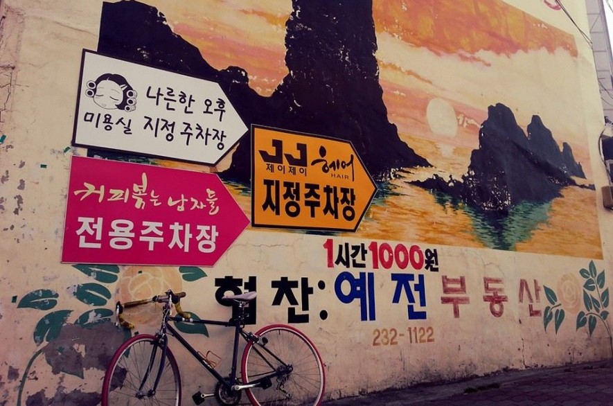
Before we left Waegwan we stopped to take some photos of the great mural artworks near the train station.


We met a Scottish guy and a Canadian girl and made a new group which worked out quite well. They were on Roadmaster bikes, which look cheap but they were actually quite light and handled far better than my heavy “NEXT Dominate” Korean steel bike from last year. Turned out that the Scot, Michael, had spent many years in Andrew’s neck of the woods in Texas. Again, small world, and it seems to revolve around Texas! Cheryl had finished her teaching contract and this would be her last epic trip before leaving Korea.
Day 4 had some hills and some possibility for getting lost/ taking a detour or two.
After Gangjeonggoryeongbo CC we crossed the bridge and stayed on that side far longer than the map suggests- we should have crossed back over at Samunjingyo (page 29). The road that we were on was quite patchy at times so I’d suggest sticking to the KTO route. We crossed over later around Seongsandaegyo which brought us to Dalseongbo CC. I am 99% sure that we did the orange “Alternate route” on page 35 – the MTB route.

It was gravelly in some parts with fine sand in others, not ideal but still do-able while clipped in on a road bike with thin, smooth tyres. Last year we did the on-road hill route which was challenging but rewarding on the downhill sections. The MTB trail is harder in my opinion because it requires a lot more concentration if you’re not on a suitable bike. Make sure that you keep a good distance between yourself and the riders ahead of you if you’re clipped in.
You’re still going to do a hill regardless of the path you choose, so it comes down to what’s more important to you: time or comfort. Next time I’ll probably choose the on-road uphill section because it saves loads of time. The MTB trail turned out to be one of my favourite parts but only because I like risk and adrenaline. It did waste time and energy. WARNING: there were a few cars on this off-road section so be careful when you turn corners at speed. Also, I saw a Korean lose control of his MTB and go straight into a ditch. It was pretty funny (he was OK).
Our route took us past a temple(Seongbulsa?) which you approach from the valley. The entrance to the temple is guarded by two giant statues and you’ll cycle/ push up the hill accompanied by monk chants flowing down the mountain, splling over into the valley below. Stunning. Probably off-course but stunning.
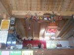
We had lunch in Hapcheon-gun (where we found this classy calendar) and decided that we’d take another detour to avoid the steep hill predicted on p.36 and followed the 1021 (the dotted line from p.38-40) that goes past Changnyeong through loads of onion farms (all being harvested at the time). So many amazing photo opportunities!


** We took the 1008, 79 and then 1021- just use 1008 and 1021- check google maps- you can see how we wasted time around the onion farm area…it was beautiful though.
We decided to call it a day at Namji (p.40) and stayed here (naver 남지청학모텔)- I’d pay 15,000 won to share a round bed any day! Remember that the drinks in the fridge are free , “service”, unlike in the West.
Day 4 summary: 131km total distance (incl. some detours) and 10.5 hours riding time.
Fact of the day: Cheongdeokgyo bridge (청덕교)- just after Hapcheon-gun- is quite cutesy with lots of little pinwheels dotted on top of the bridge rail.